The Details
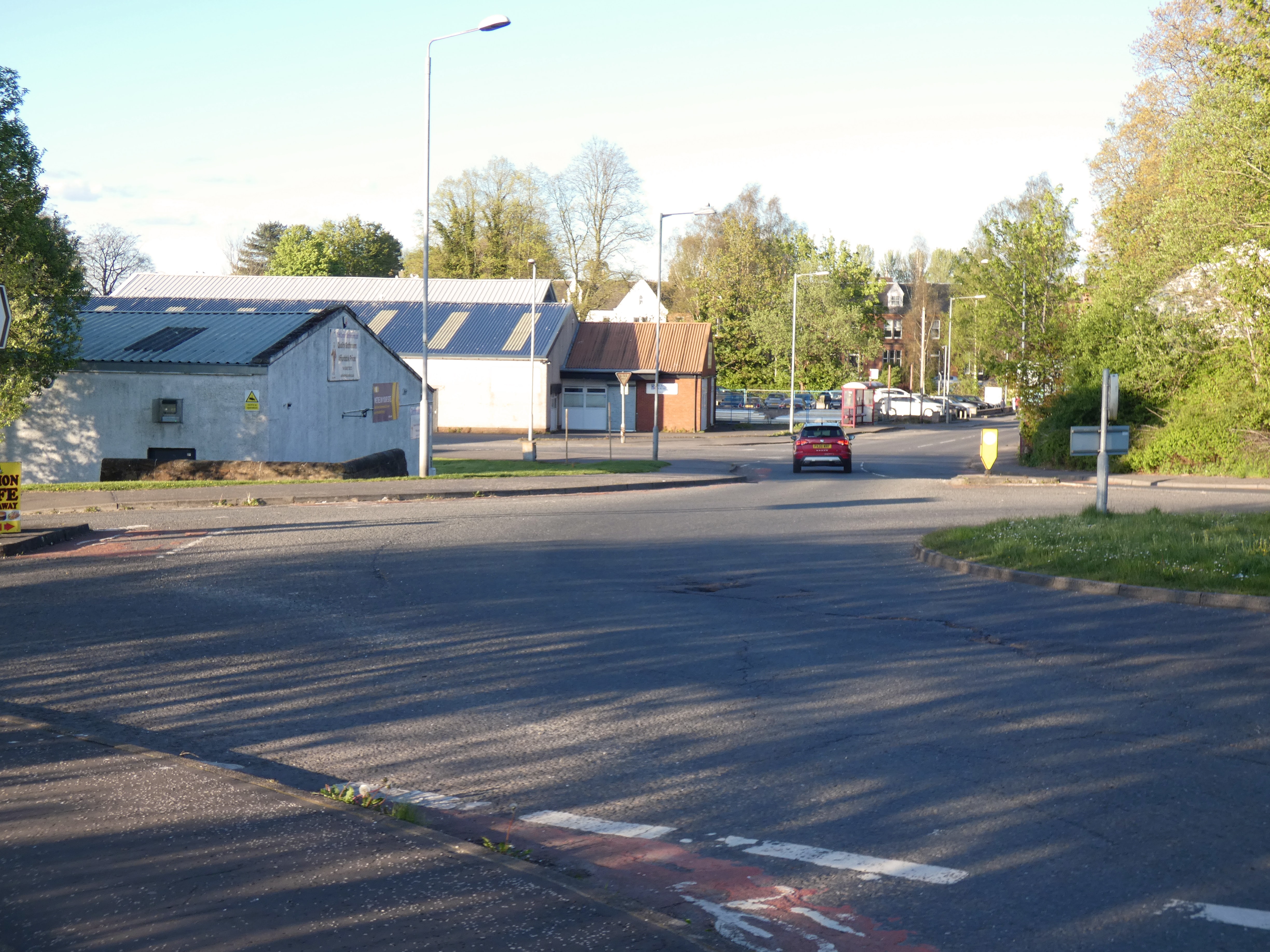
St Mary’s Street (which becomes the Lockerbie Road) and the Moffat Road are both busy and hostile to all but the most confident cyclists. The large roundabout which forms the junction between Cornwall Mount, St Mary’s Street and the station access to platform 2, is an immediate barrier to cycling. Dangerously misleading cycle markings place cyclists in conflict with turning traffic. The roundabout carriageway is very wide, even though it only has a single circulating lane enabling drivers to enter and exit the roundabout at high speeds.

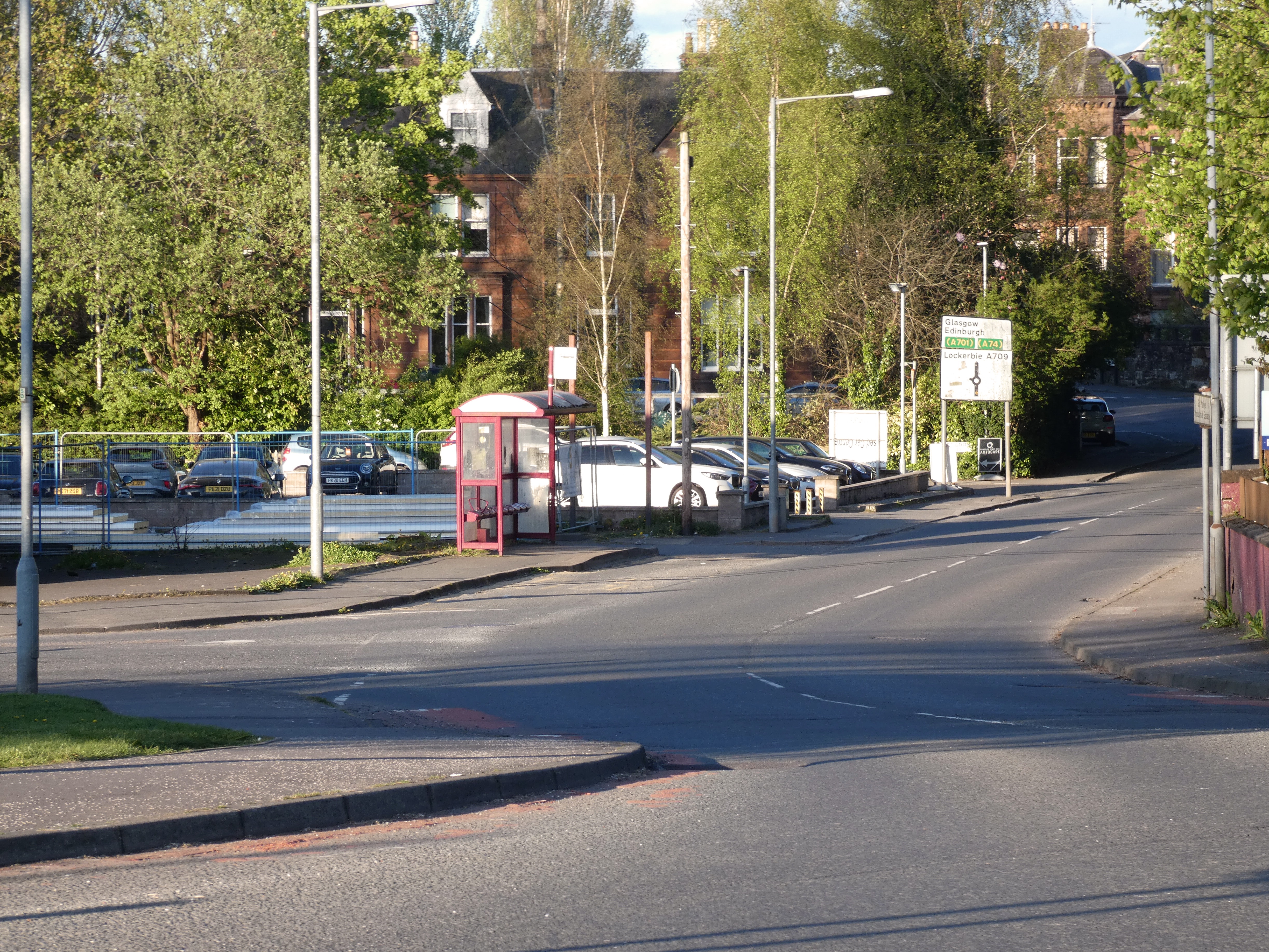
Providing a cycle track on the north side of St Mary’s Street from the Cornwall Mount roundabout to the St Mary’s Industrial Estate Road should be a priority as it is only 90 metres, but has the great benefit of creating an alternative route to the Caledonian Cycleway and businesses in the industrial estate. At present this is signed as a dead-end, no-through-road which it is for motorised vehicles, but St Mary’s Industrial Estate Road does connect directly to the Caledonian Cycleway.
From the entrance of St Mary’s Industrial Estate Road it is then approximately 80 metres to the junction with Huntingdon Road. Huntingdon Road was given a 20mph limit as part of the partially implemented works to improve active travel links to and from Dumfries High School. It is lightly trafficked although there are large goods vehicles using it to access the industrial premises along it, and to get to and from the Dumfries Auction Mart. Huntingdon Road, and its continuation as Huntingdon Avenue, has a short length of shared use path connecting it to Moffat Road, and the shared use path on the west side of that road that connects to Carnegie Street. This is an ideal low traffic route to Marchmount and Dumfries High School.
Extending the cycle track along St Mary’s Street might require land acquisition to meet modern standards. The bus stop would also need to be redesigned to avoid conflicts between bus passengers and cyclists. Moving the bus stop out into the carriageway would improve bus reliability as the bus would not have to pull out into traffic.

Connecting both sides of the railway station
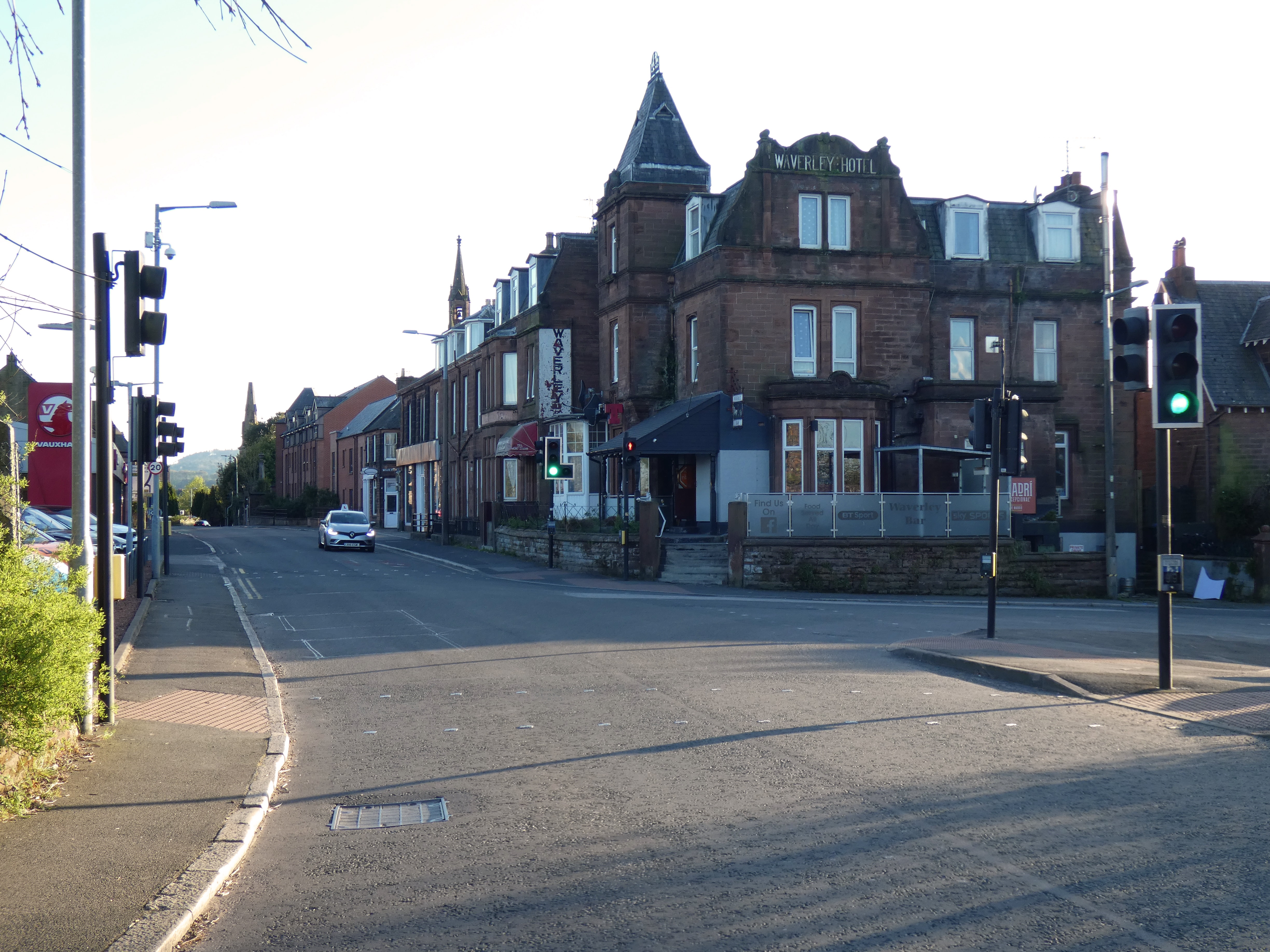
If these cycle facilities were provided on St Mary’s Street then the next obvious step would be a connection from the Cornwall Mount roundabout westwards (heading into town) over the railway bridge to the junction with Lovers Walk. This would then create a connection to the cycle parking at the west side of the station and also to the Caledonian Cycleway path link to Edinburgh Road. Crossing the railway bridge has obvious constraints, in terms of the overall carriageway width between the parapets and the parapet height, but it would appear achievable.

In brief this would involve:
- Creating a cycle path on St Mary’s Street between the Cornwall Mount roundabout access to the railway station and Lovers Walk.
- Create a cycling and walking corridor along St Mary’s Street between Lovers Walk and English Street/Annan Road as part of a connection between the railway station and the town centre, perhaps by making it access only to motor traffic.

