Missing Link #14 - Georgetown, Calside and Larchfield

Whichever route they take into town, cyclists encounter one of three major roads, all of them inhospitable to cycling

Problems

  • Whichever route is taken into town, cyclists will encounter one of three major roads: Annan Road, Brooms Road or St Michael’s Street, all of which are inhospitable to cycling.
  • The railway line to the north of Georgetown means there are fewer quiet roads exiting the residential area than normal.

Proposals

  • Make cut-throughs more accessible by removing barriers and adding dropped kerbs.
  • Reduce the speed limit on Craigs Road and the Gillbrae Road link between Craigs Road and Georgetown Road.
  • Extend the 20mph zone across the whole residential area.
  • Signing routes into town and the Crichton.

Benefits

  • These are three large residential areas, very close to town centre amenities and the Crichton. Improving active travel routes into town would reduce traffic on arterial roads.
  • More sustainable travel to the schools and colleges adjacent to the area.

At a glance

Score
Council Ward: 9 - Nith
Total route length: 2-3 kms
Travel times: By bike ≈7-14 minutes / e-bike ≈5-8 minues
Total gap length:

Explore the gaps on Missing Link #14 - Georgetown, Calside and Larchfield

The Details

Accessing Dumfries by bike from Georgetown, Calside or Larchfield can be summed up by the phrase “so near, but yet so far …”. The entire area sits within 1-2 miles of the High Street. Georgetown and Calside are relatively easy to cycle around – there are plenty of quiet streets, an existing 20mph zone around the schools and even a few handy little cut-throughs for pedestrians and bikes.

Leaving the area is more difficult. There are three main routes to town depending on your starting point and confidence level: Annan Road, Brooms Road and Aldermanhill Road. Let’s look at them in turn.

Annan Road route

To make this route better:

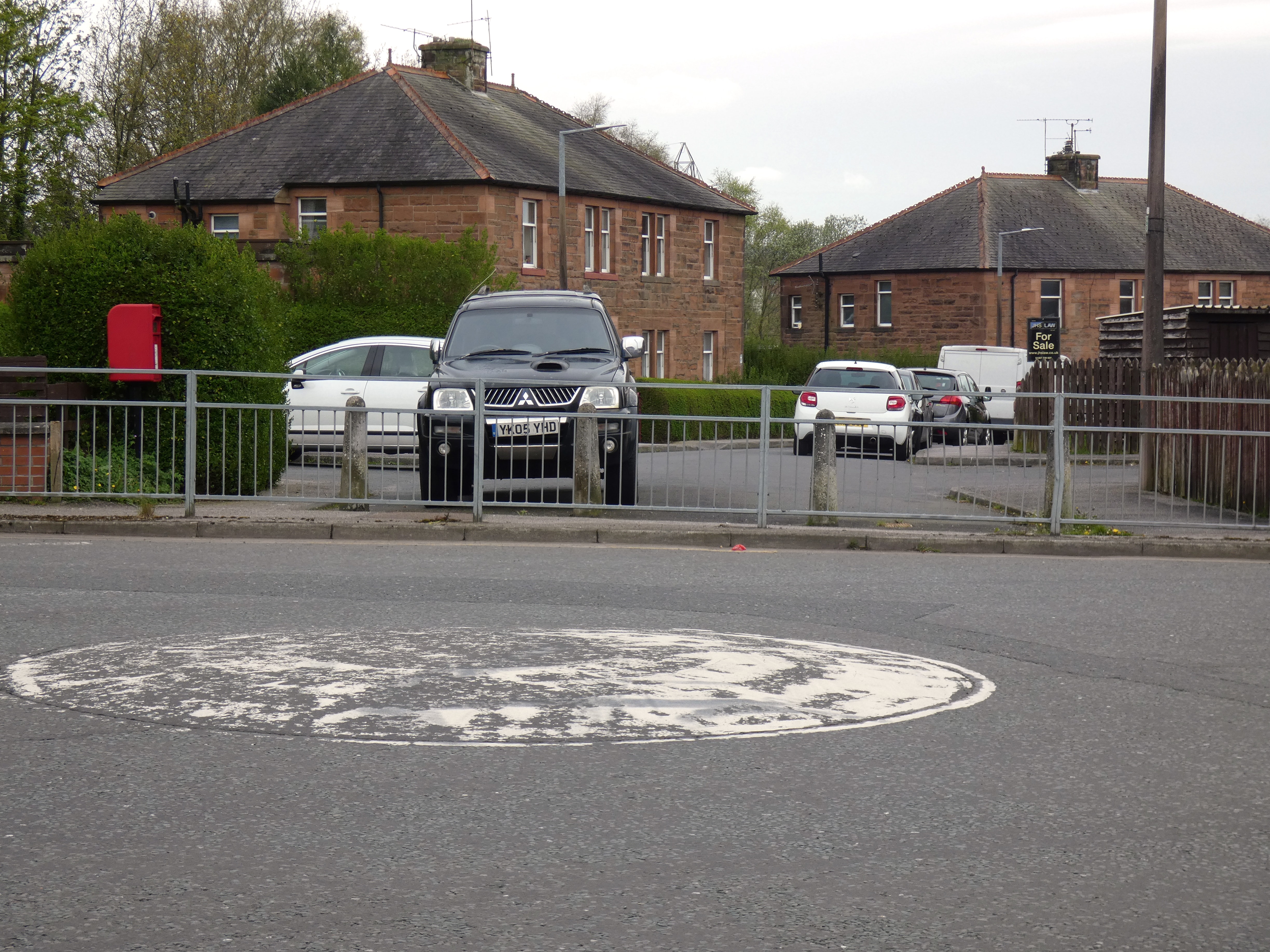
  • Remove the guard rails from the roundabout that joins the Annan Road and Georgetown Road, widen the pavement and create a direct connection from Georgetown Road to Millburn Avenue.
  • Create a safe way for someone on a bike to rejoin Georgetown Road from Millburn Avenue.
  • Give bikes an advance start at the traffic lights over the railway bridge on Georgetown Road.
  • Make Greenbrae Loaning a no-through-road for cars, but accessible for bikes, to provide a route from Georgetown Road towards Lockerbie Road.
  • Create a safe way for someone on a bike to negotiate the roundabout between Greenbrae Loaning and Georgetown Road.
  • Sign the route.

Looking across a mini roundabout towards a road on the other side of a barrier

Brooms Road route

There’s a decent route into town which skirts the St. Joseph’s playing fields, but it becomes more difficult when it reaches Brooms Road. See the Brooms Road for details.

Aldermanhill Road route

With the improvements suggested below, this route really has potential to form a route suitable for a novice rider:

  • Make Aldermanhill Road a no-through-road for cars, even if only during the school run, to prevent it becoming a rat run for drivers.
  • Convert the crossing from Glebe Street to Cumberland Street into a toucan crossing, giving people on bikes easy access to the traffic calmed Queen Street area.
  • Create a cycle route from where Barnslaps joins St Michael’s Street to Brooms Road, and continue it along the Dock Park side of Brooms Road down to the Whitesands.
  • Sign the route. Looking down Barnslaps towards St Michael's Street

Even with our suggestions, the Annan and Brooms Road routes would only be suitable for reasonably confident cyclists, as a person still has to get into town once at the end of Brooms Road. Aldermanhill Road has potential to be the safest route.

Towards the Crichton

The Maidenbower path offers a traffic-free, albeit steep, route from Craigs Road to the Crichton, D&G College, USWS and Mountainhall Treatment Centre – if you know how to find it. Signing this route and lowering speed limits would open it up to more people. Cyclists looking at the path that leads up to Craigs Road


Red - No progress

9 gaps in this category

Millburn Avenue

This dead end street could provide a quiet route from Georgetown Road bypassing the Annan Road but access is blocked off by a narrow pavement and guard rails.

Georgetown Road railway bridge

This narrow bridge is one of the few crossing points in and out of Georgetown and cyclists can be pinched by impatient drivers. Giving cyclists an advance stop line and their own green signal ahead of the cars would give them a bit of space.

Maidenbower Path access

The Maidenbower Path itself provides a high quality traffic-free route to the Crichton, but reaching it from within Georgetown is difficult as there are few accesses onto Craigs Road. The best option is the path that runs from Calside Road via Wolfgill Road to the unclassified road that joins Craigs Road but it is unsigned and lacks drop kerbs for access onto the path

Aldermanhill Road

This road provides a quieter parallel alternative to Craigs Road down to St Michael Street but is a busy rat run during school run times. Making one way or a dead end for cars but a through route for bikes would mean it was quiet enough for most cyclists and connect to the town centre via Glebe Street or potentially to Dock Park or the Whitesands via Barnslaps

St Michael Street

Barnslaps is a dead end for cars but provides an access for cyclists to St Michael Street, but from there they are on their own with both St. Michael Street and Brooms Road being hostile to cycling. Creating a segregated route from Barnslaps to Brooms Road and then alongside Brooms Road to Dock Park would complete the Aldermanhill Road route.

Greenbrae Loaning

This road could provide a useful route from Georgetown Road to the High School but is currently one way for cars, with no exemption for bikes. Creating an easy way for cyclists to pass between the Georgetown Road and here, bypassing the roundabout, would open up a safe route to the Lockerbie Road and beyond

Craigs Road

Craigs Road is the main route into Georgetown but it is busy, steep, and has a 30mph limit, making it unattractive for most cyclists. There is no cycle provision along its length until the shared use path starts along Gilbrae Road.

Connecting Barrie Avenue to Brooms Road

There is a signed cycle route from Brooms Road up Barrie Avenue towards Cresswell and Aldermanhill Road but there is only a pedestrian crossing at this point, with no dropped kerb for cyclists to get on or off the path.

Connecting Eastfield Road to Brooms Road

Eastfield and Westfield Road connect to Georgetown via the playing fields, but there is no help for cyclists crossing Brooms Road for cyclists at this point, nor any wayfinding.

Amber - Some progress

There are no gaps in this category.

Green - Closed Gaps

No gaps have been closed yet

Missing Links is an initiative of Cycling Dumfries.

Missing Links website is a pro bono project Gilbert West.

All text content, photographs and videos on the Missing Links website is available under a Creative Commons attribution license.

D&G Climate Hub logo

Thanks to the D&G Climate Hub for funding the design of the original Missing Links book.