The Details
The southernmost part of the Caledonian Cycleway starts at the railway station access road. This is a shared pedestrian and cycle path to the Edinburgh Road and is considered part of the council’s public road network (F(C)14 on the list of public roads). From Edinburgh Road the route continues north on the Caledonian Cycleway to Locharbriggs and Heathhall or you can cross it via controlled crossings to get to the Maxwelltown Path and onwards to Sandside, Summerhill, Palmerston Park, Lincluden, Lochside, Barnhill, Cargenbridge, DGRI and beyond.

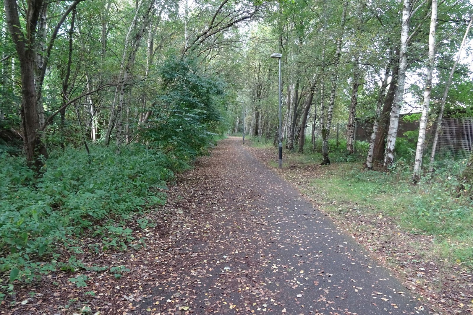
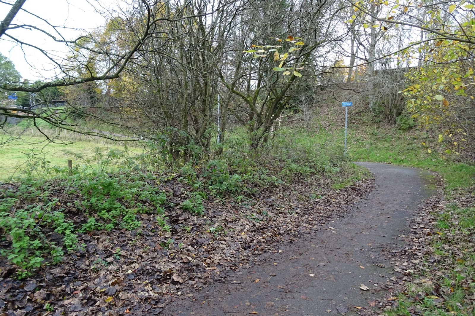
The path is now regularly cleared of leaves by the council, which is a significant improvement, and makes it much more usable and safer for cyclists and pedestrians alike in autumn and winter. Recent scrub and tree clearance has also helped with the encroachment of vegetation. Tree roots have lifted the surface at one point, forming a bit of a hazard. The path is level except for a short sharp gradient at the railway station end and a steep, narrow (approximately 1 metre wide) section at the Edinburgh Road end where there is a cyclists dismount sign. There is an approximately 90 degree bend at the bottom of the slope and forward visibility here is restricted by vegetation.
Widening the narrow section at Edinburgh Road would remove the need for a cyclists dismount sign and provide a better visibility at the 90 degree corner. Land acquisition would be required to achieve both improvements. This could perhaps be undertaken as part of any development of the adjacent field, which currently has planning permission for a single house.

