The Details
New Abbey Road now has Dumfries’s best stretch of cycle track – but it only extends along a short urban stretch of this key road. For the rest of its length, the A710 to New Abbey is a trip avoided by many cyclists and it’s definitely not an option for other modes of sustainable travel except bus. Two much longer routes, one via the Old Military Road, Beeswing and Kinharvie, the other via Cargenbridge and Kirkconnell Flow, are more viable, but are circuitous and used by those “in the know”. They aren’t intuitive routes and certainly not something very apparent to visitors. They also bypass some of the points of interest along the route. The direct route along the A710 is worth investing in as it’s intuitive to visitors, used by people in the settlements along the route and is also well used by Doonhamers on day trips. Many points of interest along the route could be made easy to access by bike: Mabie House and Forest, Mabie Farm Park, Kirkconnell Flow (NatureScot reserve), Airds Point, Shambellie House and Forest, and New Abbey village (Corn Mill, pub, shop, Sweetheart Abbey, tea room). Criffel, Knockendoch and the Waterloo monument are also accessible from New Abbey without rejoining the A710. Needless to say there are also many holiday rentals along the entire route.
Mavis Grove to Islesteps
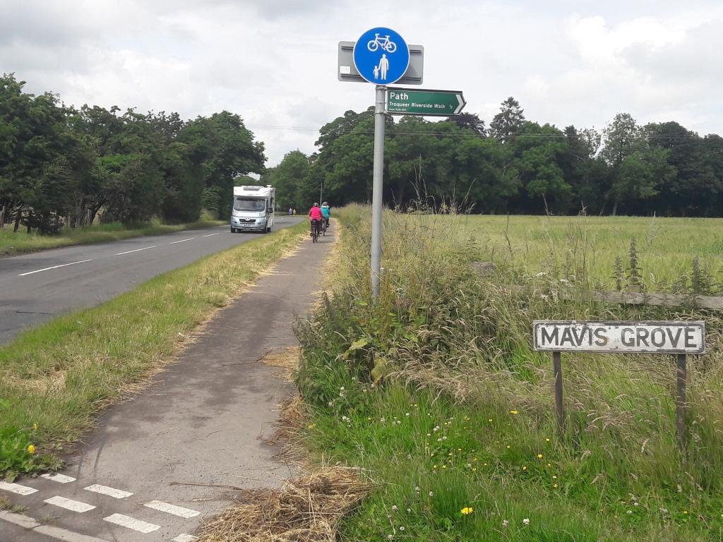
 Laghall, Cargenholm and Islesteps are all within 3 miles of the town centre. But all current routes require an uncomfortable section on the New Abbey Road. At the moment a shared use path extends from the edge of town (at the speed limit sign) to Mavis Grove. Extending this shared use path another mile would include all the housing between Islesteps and Mavis Grove. There is a wide verge for most of the way to Islesteps which makes this a feasible option.
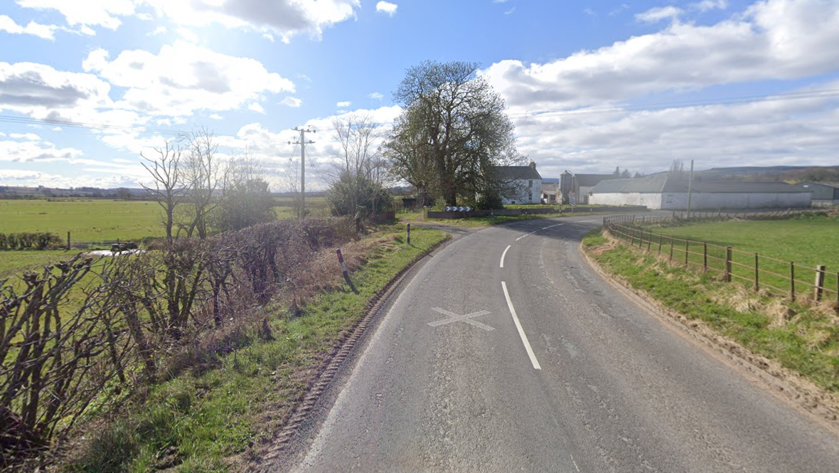
Where the road bends right in the run up to Islesteps, there is less room for a separate path. Extending the 30mph zone from Islesteps to include this section would make rejoining the main road from a shared use path much safer.

Islesteps to New Abbey
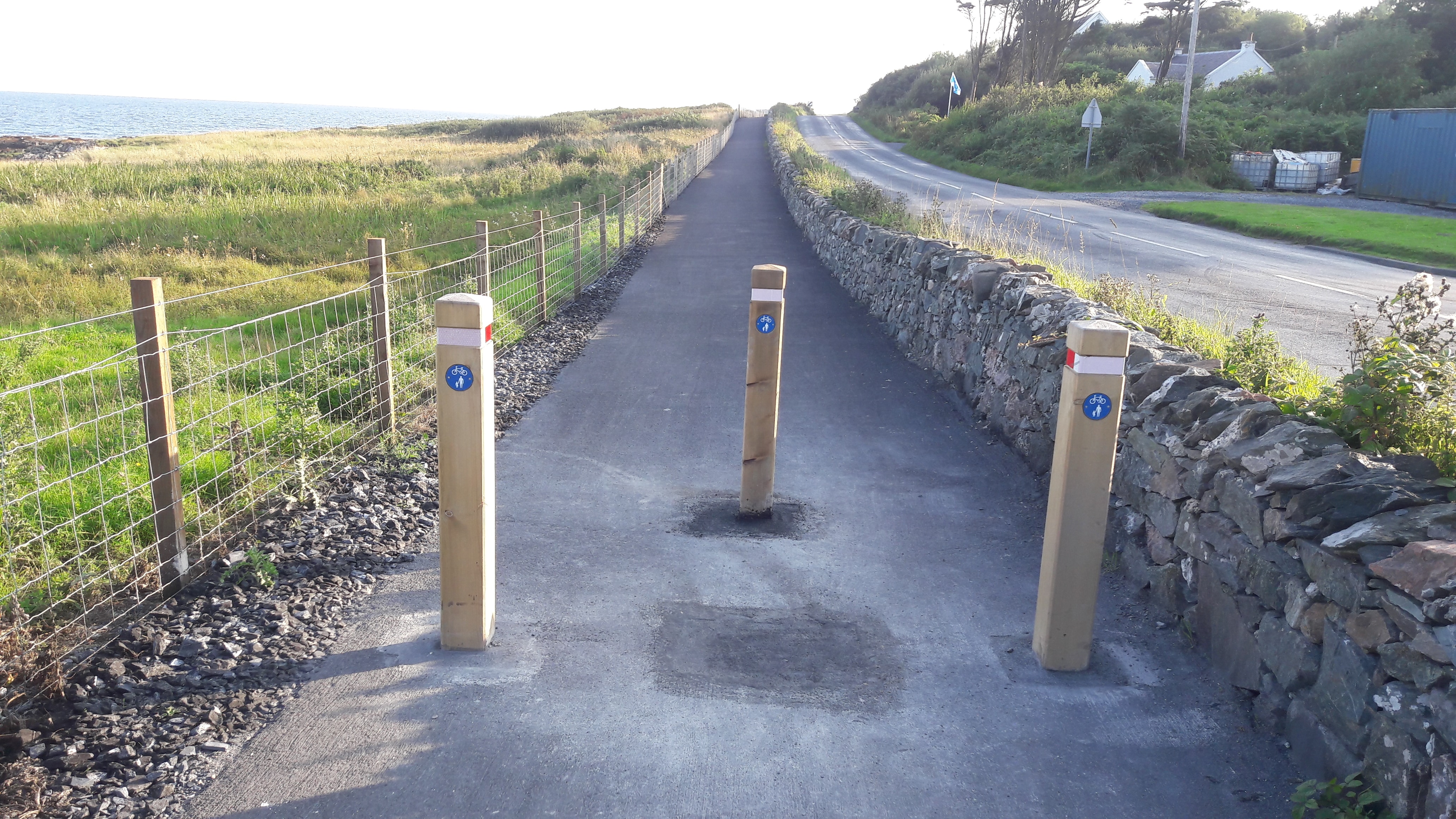
To continue on from Islesteps would require creating a safe, separate route on the 60mph sections to New Abbey. In rural areas with 60mph speed limits this is done by providing a shared-use path adjacent to the road but the other side of the hedge or dyke, with the path running through fields.
Excellent examples of this have already been built in Dumfries & Galloway at Penpont and at Eskdalemuir. They are also found in Islay and the Borders.


