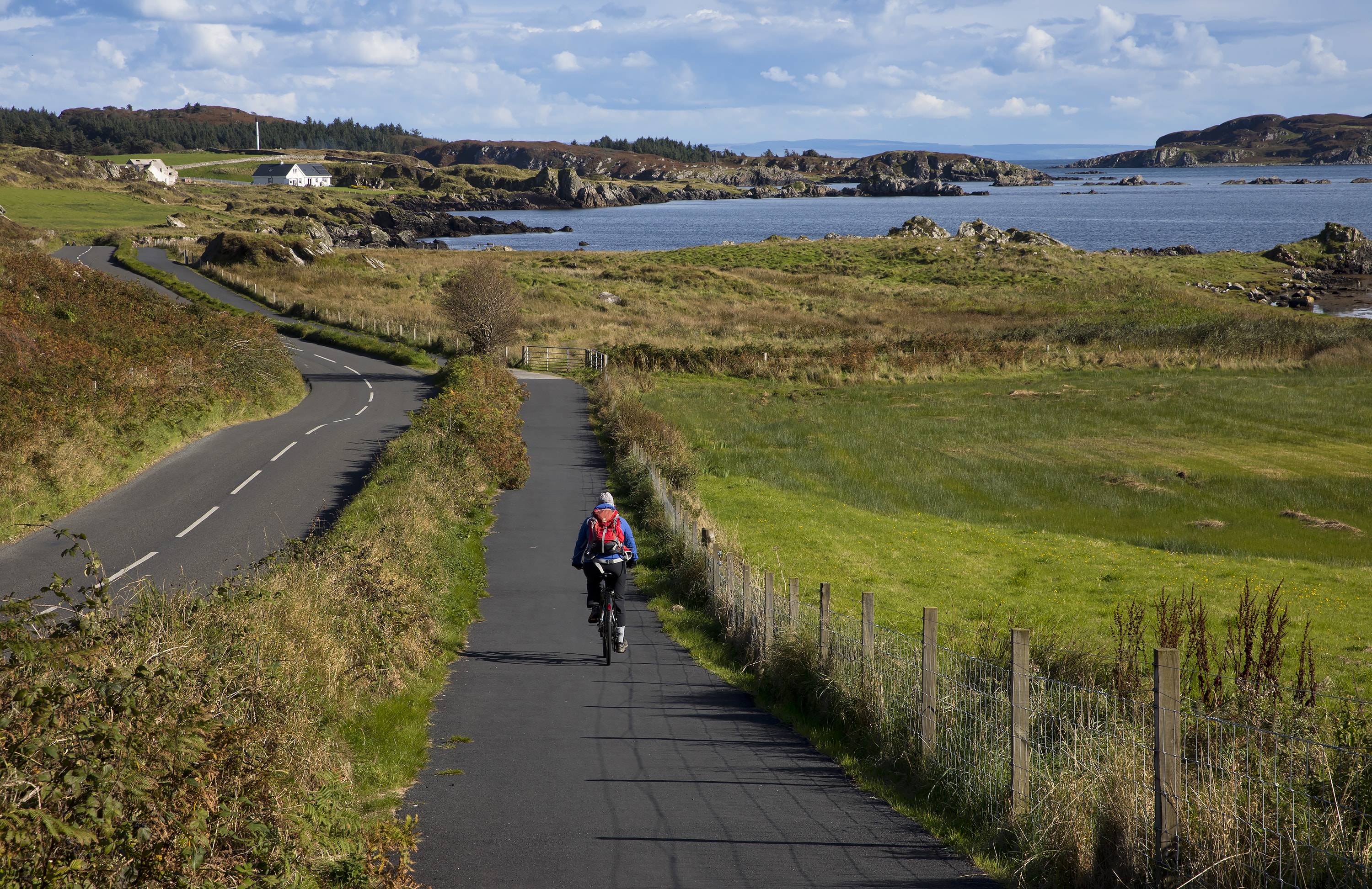
The Details
Dumfries to Glencaple might seem like an odd addition to our missing links book – after all, the two places are joined by the National Cycle Network (NCN 7). The Glencaple and Bankend Road loop is a popular one with Dumfries cyclists looking for a 20-mile circuit. So where’s the gap?
In fact, the route down to Glencaple illustrates the difference between catering for (existing) cyclists and creating new cyclists – providing a route where cycling is not just possible for someone who is willing to mix with traffic, but one which positively invites cycling.
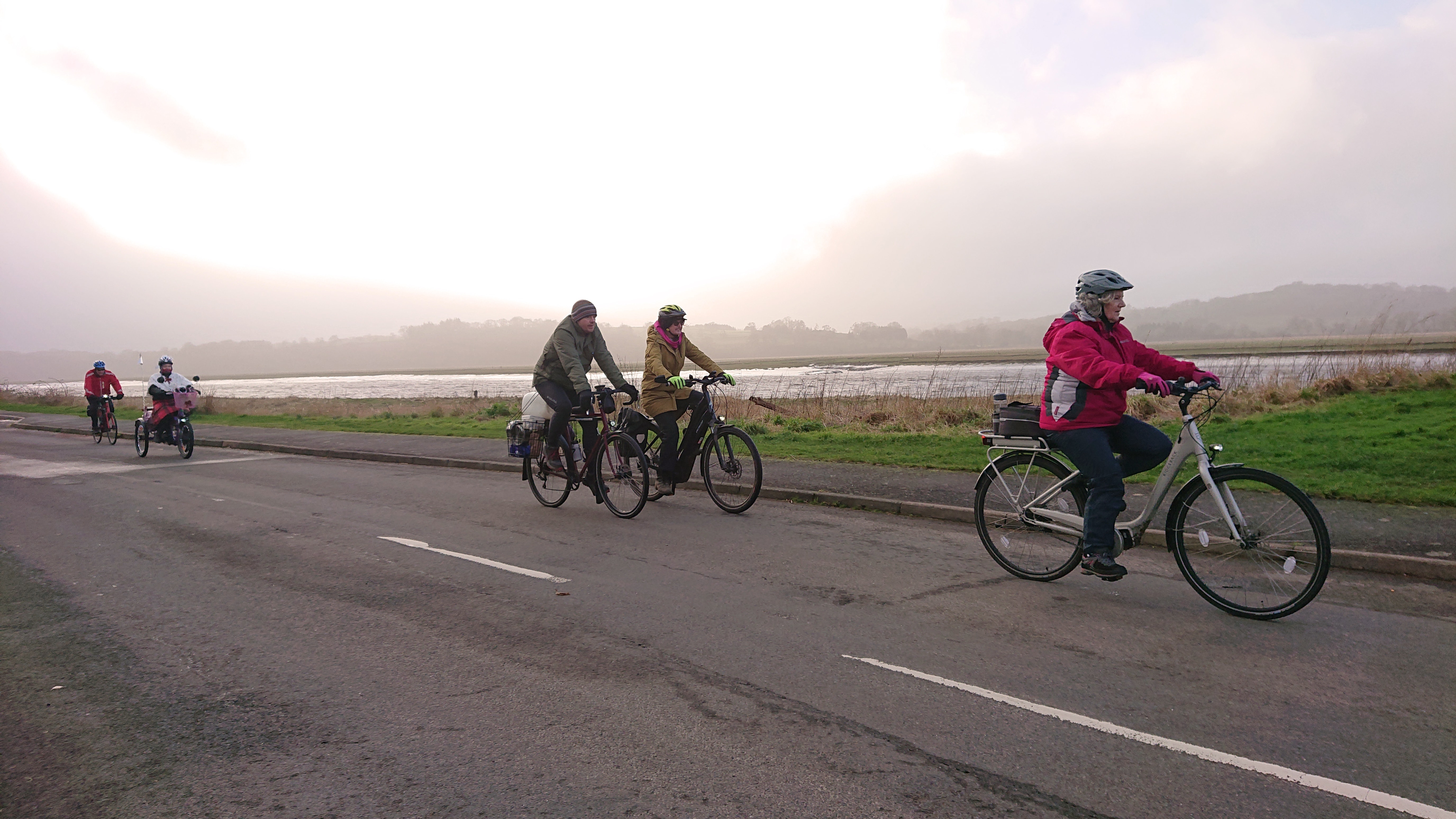
Glencaple is just 6 miles from the centre of Dumfries (depending on the route you take) and with two restaurants by the quay it should be a nice destination for a leisure bike ride. It’s a substantial village, with plenty of people living there who work, shop or study in Dumfries, so making it easy to cycle to and from the village could significantly cut car journeys. Assuming a not-too strenuous pace, it would be about a half-hour ride – and with an e-bike, well within the reach of most people to do without even breaking a sweat. And yet, most of the people you see cycling on this route seem largely to be doing it in order to break a sweat: adults, usually men, almost always sportily dressed and on road bikes, heads down, getting the miles in. There’s nothing wrong with that sort of riding – but where are the families, commuters, shoppers and tourists out for a nice lunch by the river that you would have thought the NCN was designed for?
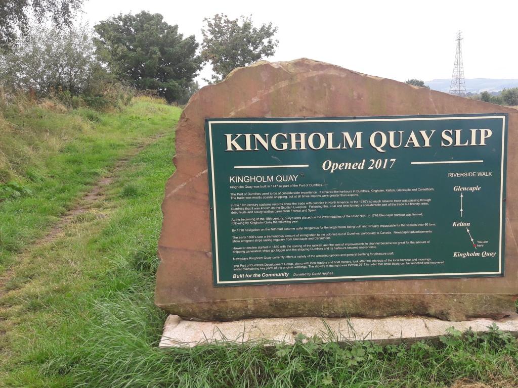
The NCN 7 route to Glencaple starts off as a shared-use path through Dock Park and along the river path down to Kingholm Quay, definitely a nice leisure route and very pleasant on a sunny afternoon.
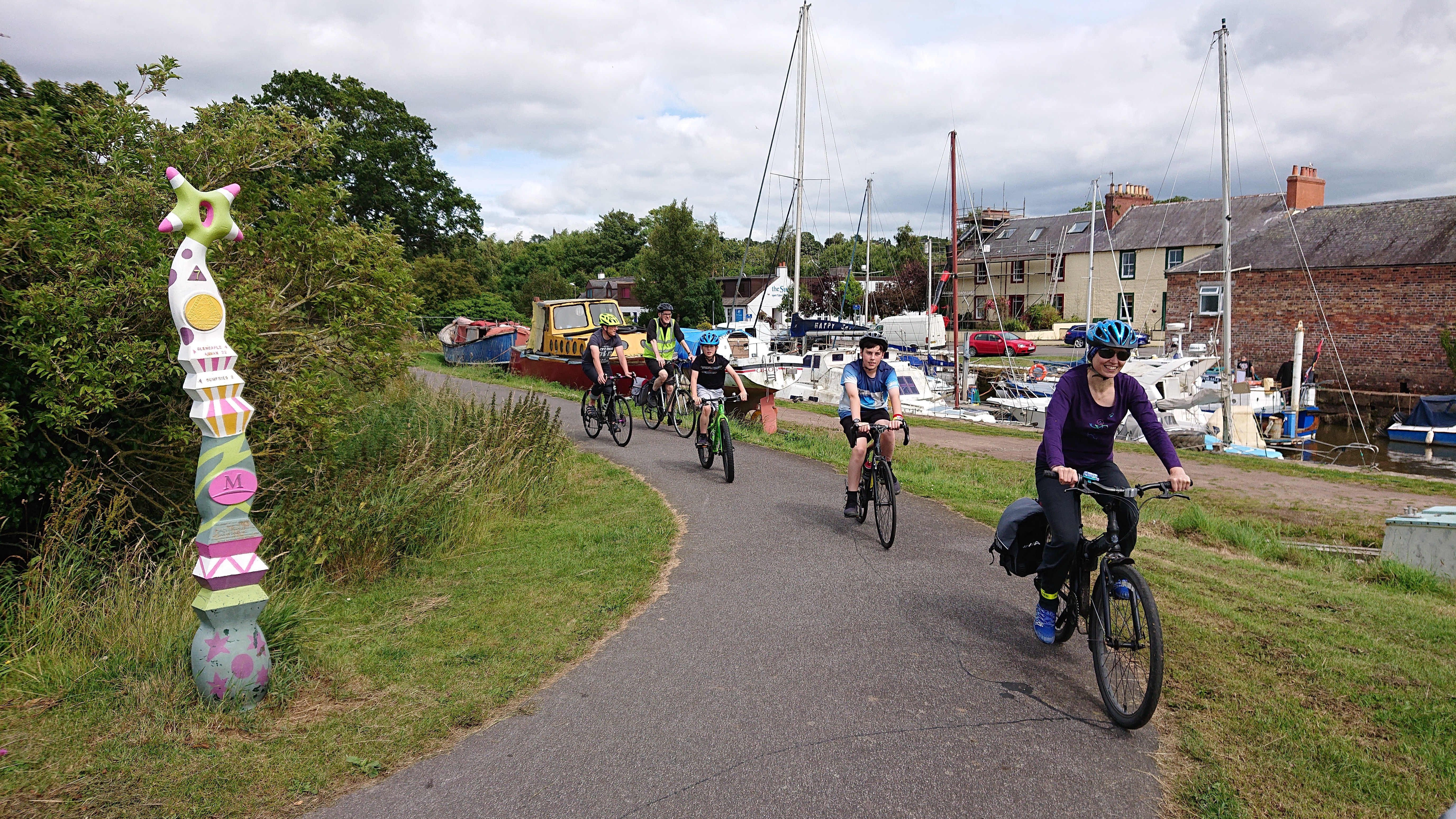 So nice, in fact, that the shared-use path down to Kingholm is more or less unusable on a fine day – it means negotiating dog walkers, families out for a stroll, and all sorts of other pedestrians who’d rather not have to move out of the way to let a bike past. This path shows the limit of using green leisure spaces as if they were also through routes for bikes. While most cyclists are polite about slowing down and negotiating their way past, the potential for conflict is built in. The path is unlit, which makes it feel unsafe for many people after dark, especially women.
Those who are in more of a hurry can use the Kingholm Road but this has a 40mph speed limit and, despite plenty of room alongside, no space for bikes off the carriageway.
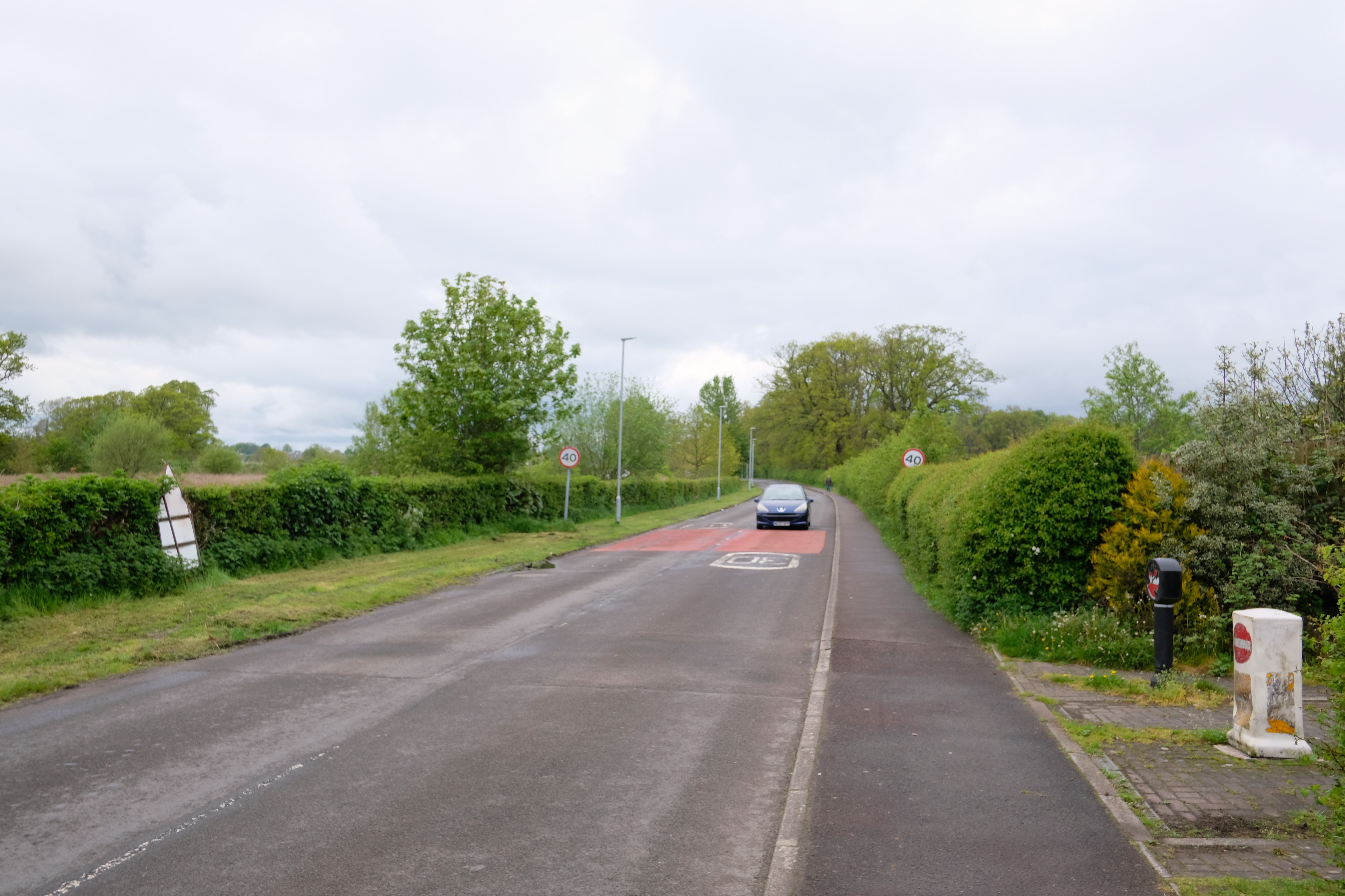
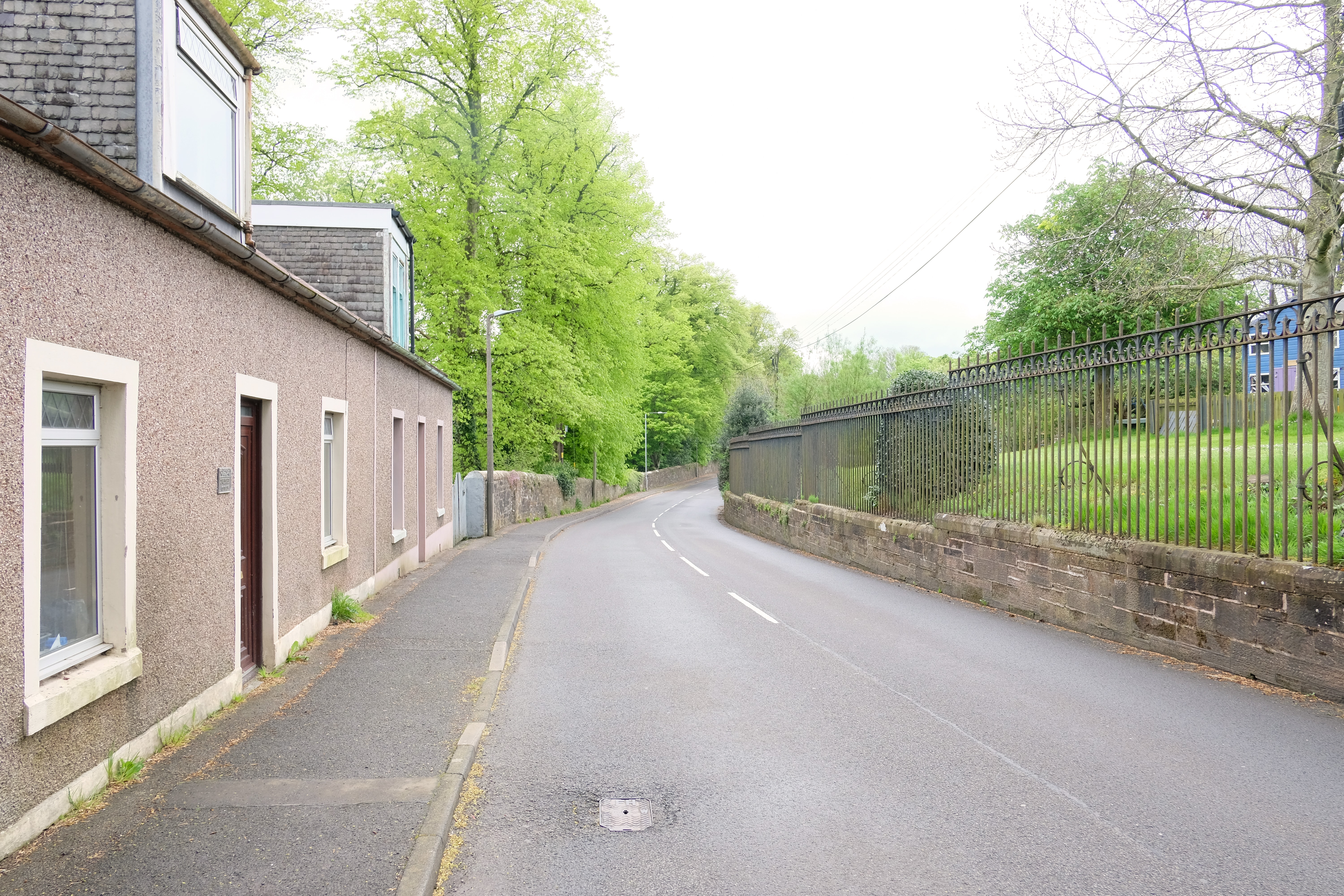
The more direct route along the B725 past the bottom of the Crichton is even less appealing to most, being narrow, walled in, and often involves negotiating round parked cars.
 Cyclists could also make their way through the Crichton itself, avoiding the road, but the Brownhall Gate entrance is firmly ‘no entry’ the other way.
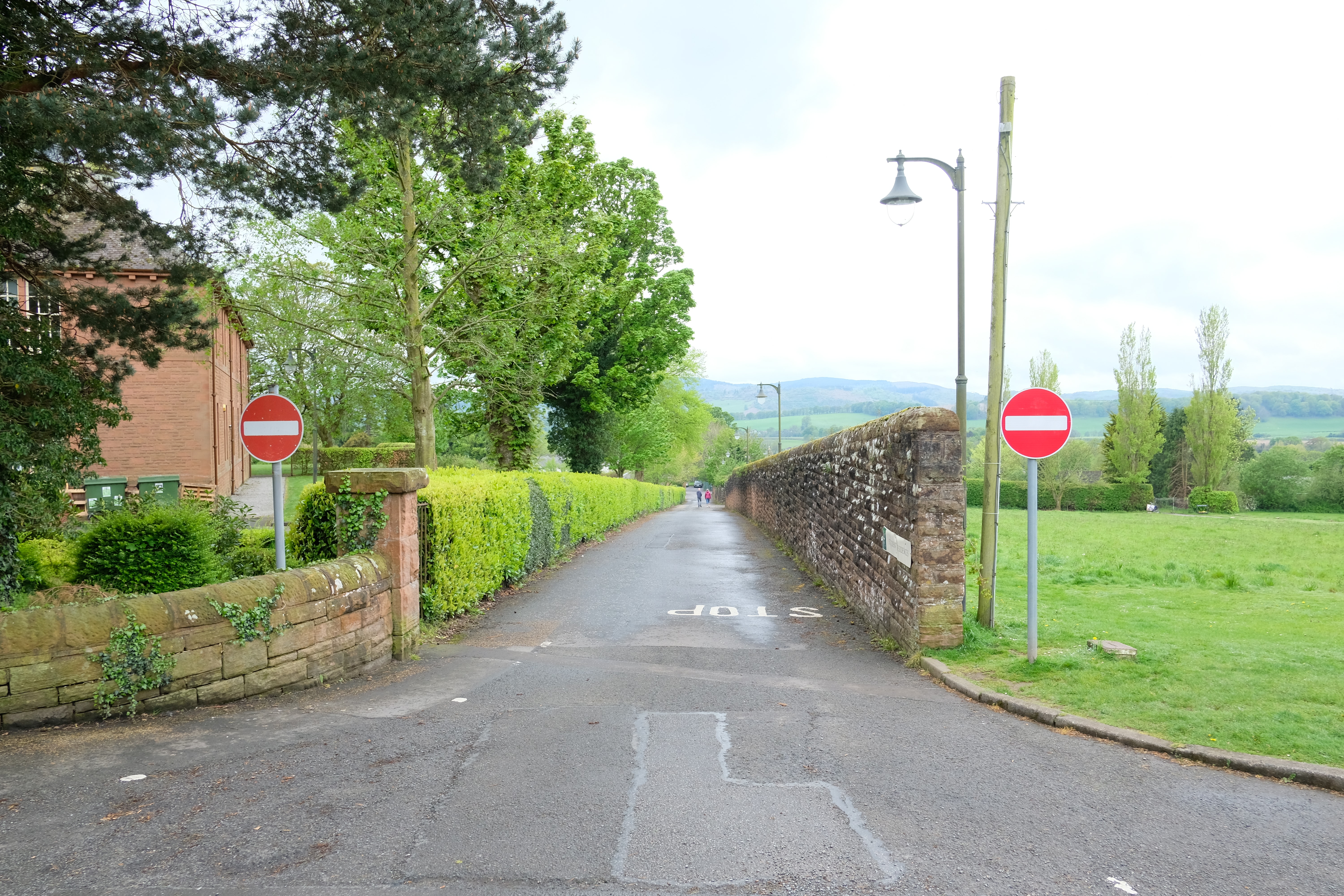 Exiting the Crichton onto the Glencaple Road at the Brownhall Gate is currently illegal. Some signage and an exemption for bikes could connect the NCN with the campus and onwards along the Maidenbower Path to Georgetown and Calside.
Once at Kingholm, NCN 7 heads up Kingholm Loaning – on the carriageway except for a short section on the pavement just at the mini roundabout where the route joins the Glencaple Road. This is helpful for avoiding the roundabout, but it isn’t clear where you need to rejoin the carriageway – if you stay on the pavement, it becomes very narrow and the pavement runs out just at the point where the road reverts to the national speed limit.
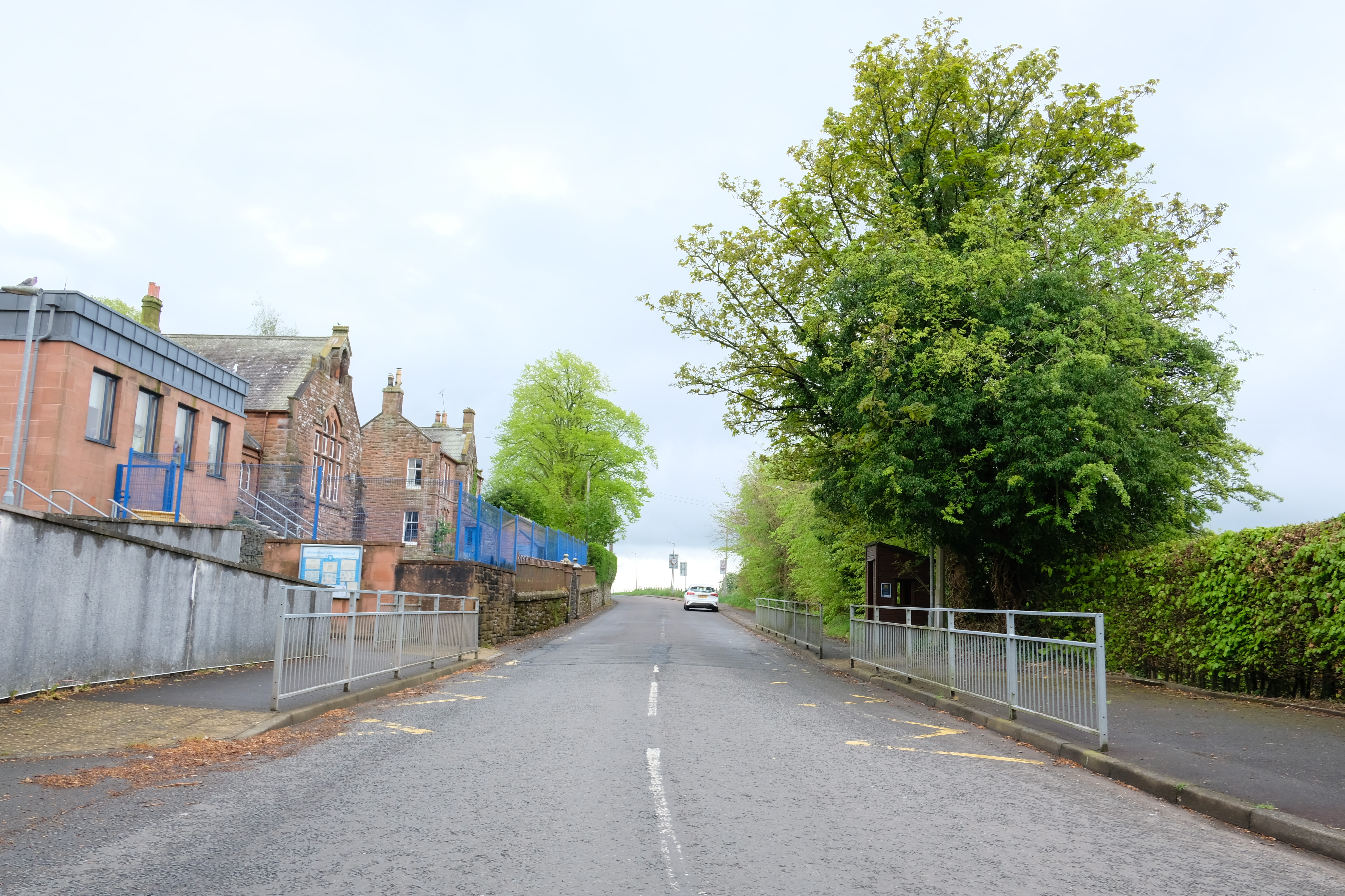 There is no sign indicating that cyclists should rejoin the road but if the footway on the right is supposed to be a shared-use path, it is very narrow and constrained by the railings. If you don’t get off just at the roundabout there is then no dropped kerb until right at the end of the pavement.
From then on, despite being part of NCN 7, there’s absolutely no provision for cyclists, except for the directional signs. The road is fairly busy and fast, narrow enough to barely accommodate two cars to pass each other, but with a white line down the centre, which means drivers don’t feel they have to negotiate the space the way they might on a single-track road. This encourages close passes and impatient drivers. There are also a number of blind bends – the worst being the dogleg by the entrance to Conheath nursery. Although you’re treated to some spectacular views of Criffel and the river, it’s not a route where you can safely relax and enjoy the scenery. And we know that many would-be cyclists are put off by the experience, and opt for the safety of the car instead.
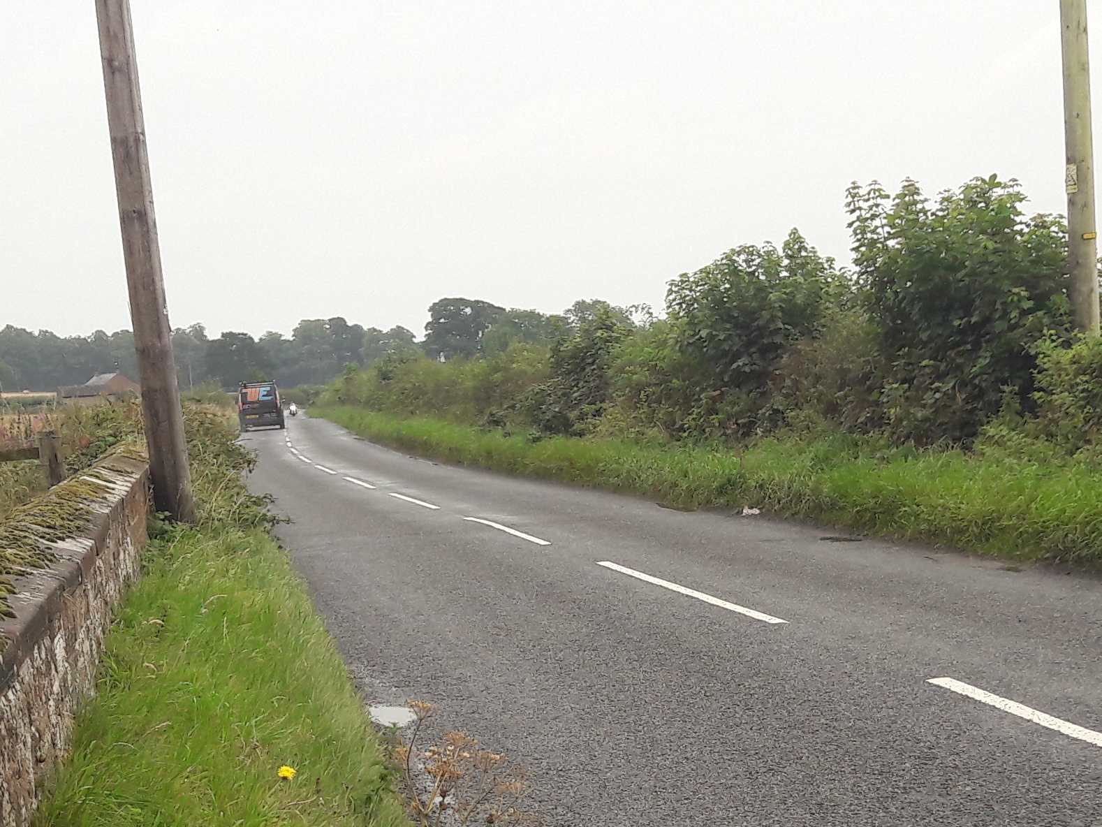
NCNs are supposed to be suitable for sensible 12-year-olds to cycle on independently – but we’d be hard pressed to recommend this route for any unaccompanied child, however level headed. Recently Sustrans has recognised that large parts of its network were unfit for purpose and have reclassified whole stretches of the NCN – including a stretch of the NCN 7 eastwards from Bankend. They haven’t done so for the Glencaple Road but, reclassified or not, we don’t believe this route is good enough to make cycling between Glencaple and Dumfries a reality for the majority of the population, not just the quick and the brave.
Superficially, the riverside footpath along the Nith, looks like an alternative. It was built all the way to Glencaple, although a washed-out footbridge currently severs it. But it is also regularly flooded by the tide, making it unsuitable for a useful commuting route. Upgrading it to a surface that’s suitable for all users (including wheelchairs) would not be appropriate for the sensitive riverside habitat it passes through. It would also suffer from some of the same problems as the path to Kingholm Quay, being unlit and somewhat lonely after dark. It would make a fantastic leisure route – but this is one to leave to the walkers and birdwatchers.
Another suggestion might be to modify the Glencaple Road itself by removing the white central line, lowering the speed limit, and introducing cycle lanes to visually narrow the road and encourage lower speeds. This has been done in a few roads in Scotland, such as Gogar Station Road, and a similar approach is sometimes used in the Netherlands – but such schemes work best when the road isn’t busy. We’re generally loath to recommend on-road cycle lanes as they are generally considered to make routes less safe for cyclists, not better. A better alternative would be to create a new path, away from the traffic but still alongside the road (for social safety after dark). In some places there is space to do this within the footprint of the road, but not everywhere. In those cases, land would need to be purchased to create space. This wouldn’t be cheap, but it would mean creating a high-quality route that would actually encourage people to use their bikes for a journey that might have otherwise been driven – what we mean by creating cyclists, rather than catering for them.
As for the cost – well, thinking a bit laterally, the land needed for the route could also be used as a linear solar farm, helping to defray the cost – and doing even more to cut carbon emissions. The path would provide access to service vehicles too. It could even provide a few charging points for e-bikes and mobility scooters, making the route even more accessible to all comers. Now THAT’s a way to create cyclists!
