The Details
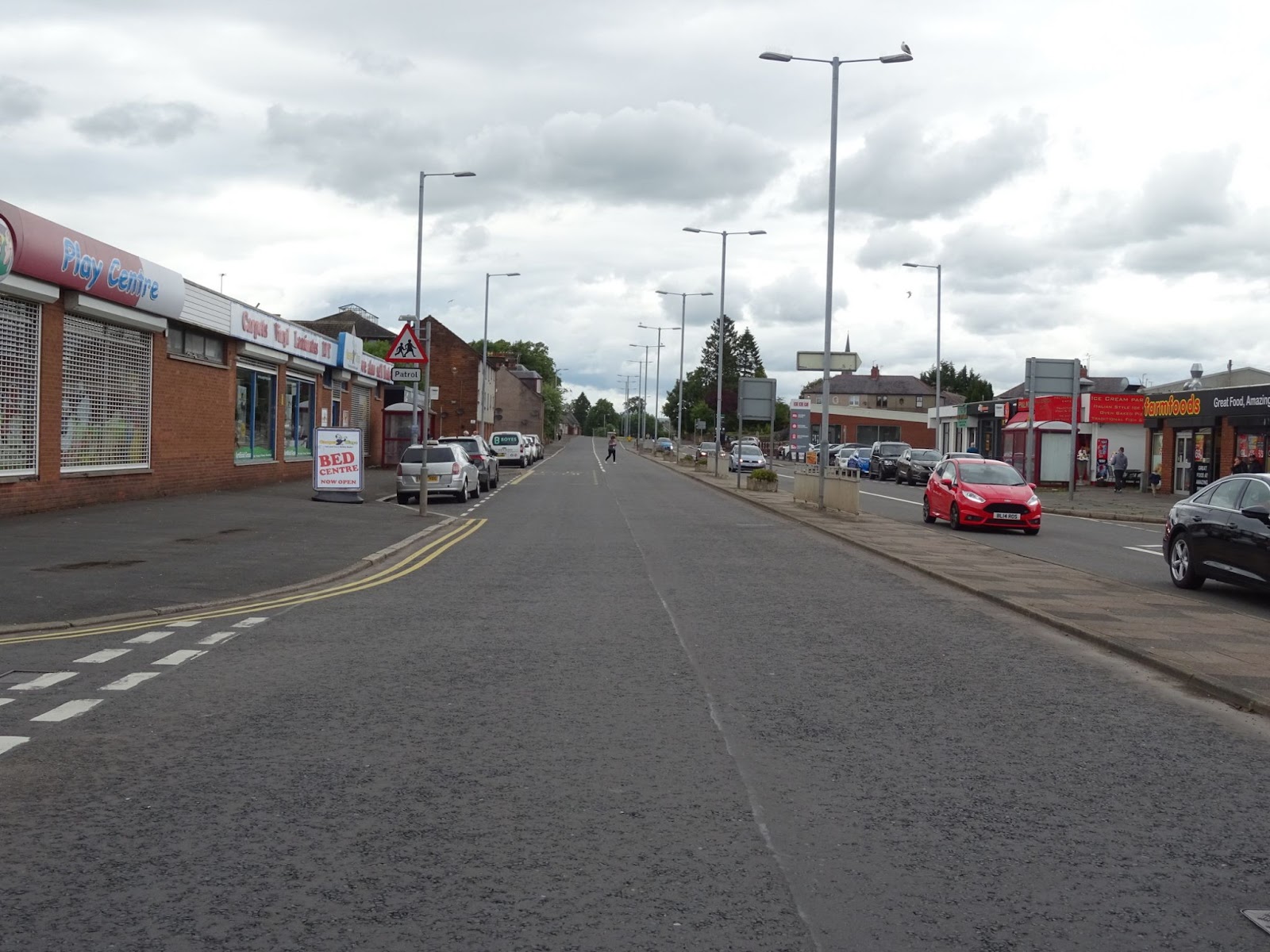
Glasgow Street is a busy four-lane road which creates a barrier to people travelling east-west on foot or bike, and is off putting for those wishing to travel north-south. However, it also serves key destinations such as The Bridge, the Cuckoo Bridge retail park and Sandside, Lincluden and Lochside. It also bisects a number of key cycling routes. Making Glasgow Street pedestrian and cycling friendly is a key step in completing the town’s active travel network.
Crossing Glasgow Street
Two key crossings that need improvement: Lochfield Road and the Steel Avenue path. Crossing Glasgow Street where it meets Galloway Street and the Buccleuch Bridge are covered in a separate chapter.
Crossing 1 - The Glasgow Street / Lochfield Road roundabout
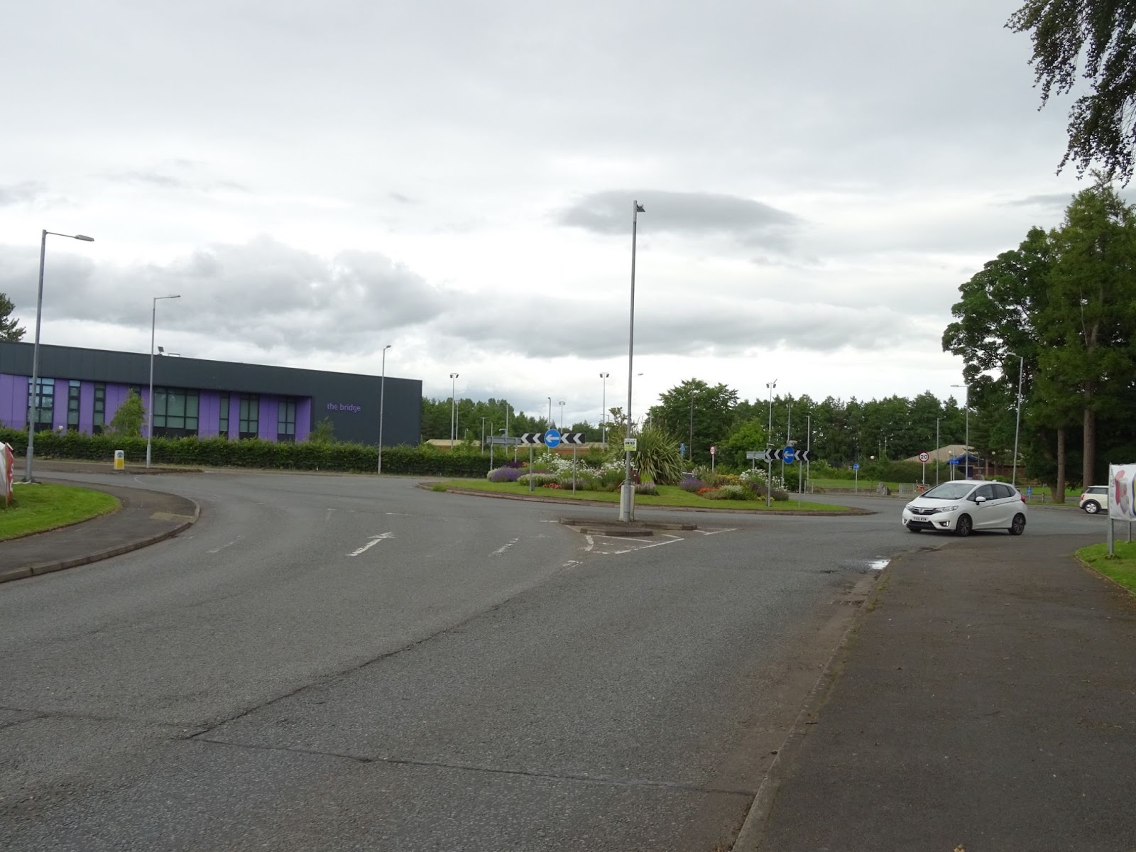
The roundabout at the junction with Lochfield Road and Sunderries Road sits at the northern end of Glasgow St, close to the Lochfield Road Primary Care Centre. As the Active Travel Map shows there is a cycle route along the west side of this stretch of Glasgow Street. This uses quiet roads (Portland Drive and Beech Avenue) and connecting lengths of cycle path. A big issue with this route is crossing Lochfield Road, because of the proximity of the large Glasgow Street/Lochfield Road roundabout.
Lochfield Road and Sunderries Road also form a potential east/west cycle route, joining up with College Street with its connection to the Loreburn Bridge, Loreburn Primary, The Academy and the town centre. Unfortunately the roundabout as it stands is a barrier to using such a route.
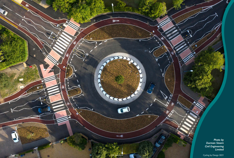
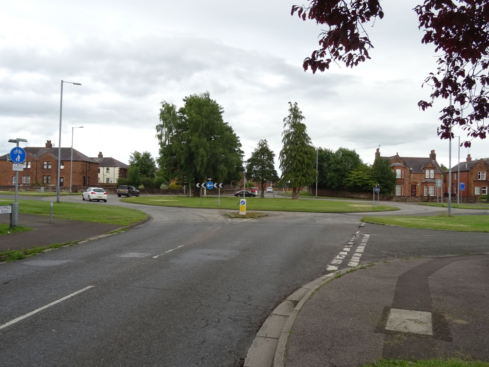 Given that both north-south and east-west routes meet here, cycle crossings are needed on at least three of the four arms of this roundabout – both Glasgow Street arms and Lochfield Road. There are various ways to do this. One option would be toucan crossings on each arm of the roundabout. A second option would be to replace the roundabout with traffic signals, including controlled crossings for pedestrians and cyclists on all four arms. A more ambitious improvement would be to remodel the roundabout into a cycle friendly roundabout as shown below. There is more than adequate space in the centre of the current roundabout for this type of layout.
Crossing 2 - Steel Avenue path to Loreburn Bridge
A short traffic-free path provides a handy cut-through from Loreburn Bridge (by the Rowing Club), past Steel Avenue and through to Glasgow Street – but once there, cyclists and pedestrians have to negotiate the four lanes of traffic on their own. A toucan crossing here would benefit pedestrians and cyclists alike as there is currently not a single controlled crossing along the entire length of the Glasgow Street until you get to Tesco at Cuckoo Bridge retail park.
Once across, there’s a nice ramp down onto Portland Drive for cyclists heading south towards the Ice Bowl. But to join Portland Drive heading north, cyclists are meant to use the shared-use path on the west side of Glasgow Street, up to the bus lay-by. Unfortunately this is not well signed and there are no road markings indicating this permitted use (this is also the case for a lot of Glasgow Street). Clarifying this with some more and/or clearer signage and road markings would be beneficial.
Note that the camber on the Steel Avenue cycle path is awkward for trikes, wheelchairs and mobility scooters and should be improved to make it more accessible.
Completing the route along Glasgow Street
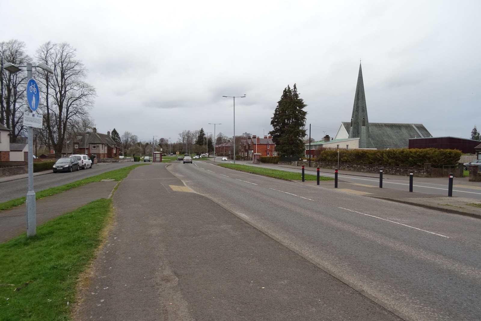
Glasgow Street is a busy road for a reason – it’s one of two main roads north out of Dumfries. It connects to key parts of the cycle network including the Maxwelltown Path, and the pedestrian and cycle bridge over the A75/A76 roundabout. Most cyclists prefer to use College Road as it is quieter, but if Glasgow Street catered for them better, a continuous cycle route could be created from Galloway Street right up to the Aldi on the bypass.
At the moment there is a bus lane on the southbound carriageway into town, but not northbound. There’s scope to make better use of the space at the south end of Glasgow Street either for a bus lane or to reallocate some of the carriageway for active travel.
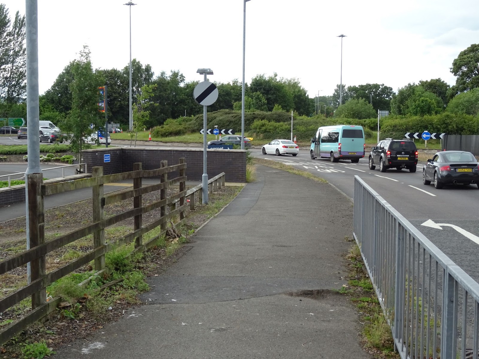
 To complete the final stage to Aldi, the crossing of the road into and out of the Cuckoo Bridge Retail Park needs to be improved. At the minimum, a wider refuge island would be an improvement and could be created by removing one of the three lanes into the roundabout from the retail park.
 Finally, extend the shared-use path on the west side of Glasgow Street to the road at the Maxwelltown Industrial estate, and make the pedestrian access to Aldi suitable for cycling. This would also provide a link to the Maxwelltown path via Aldi removing the need to cross the road here.
Improvements around Glasgow Street
Lochfield Road
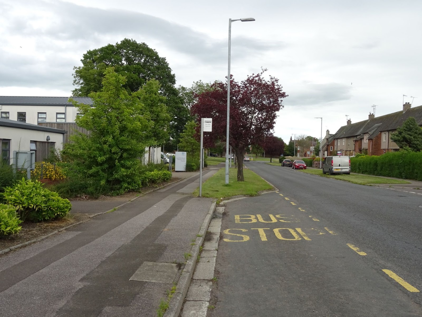
The 2020 Commonplace survey included the suggestion of a cycle path on Lochfield Road to the junction with Ashfield Drive (opposite the health centre). This would provide a connection to the quiet roads west of Glasgow Street that connect to the Ice Bowl.
From Lochfield Road, there is a route through the medical centre grounds to Summerville Crescent and traffic-free access to Tesco. However, this lacks a dropped kerb to access the south end of the shared-use path and improved signage for this route (unfortunately not shown on the council’s Active Travel Map).
King Street
King Street passes the Ice Bowl and connects Glasgow Street and Terregles Street by the entrance to Laurieknowe primary school. It could be the main quiet route from Terregles Street to Glasgow Street by allowing two-way cycling on the short one-way length of King Street at its junction with Terregles Street, either with ‘except cycles’ signage or a protected contraflow cycle lane. There is also a cul-de-sac on King Street with a path through to Glasgow Street which would benefit from the addition of dropped kerbs.
Connections to Lincluden via College Road
College Road runs parallel to Glasgow Street. It begins as College Street exits Sandside and continues the length of Lincluden. It is a key route to and from Lincluden, a route to the Maxwelltown Path and allows low-traffic access to DIY and electrical goods stores by the College Mains Road.
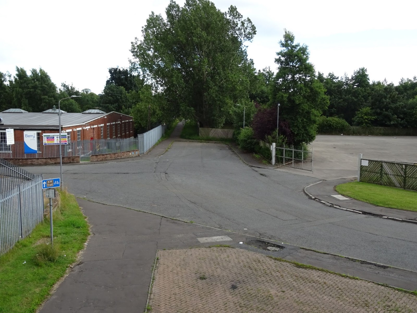
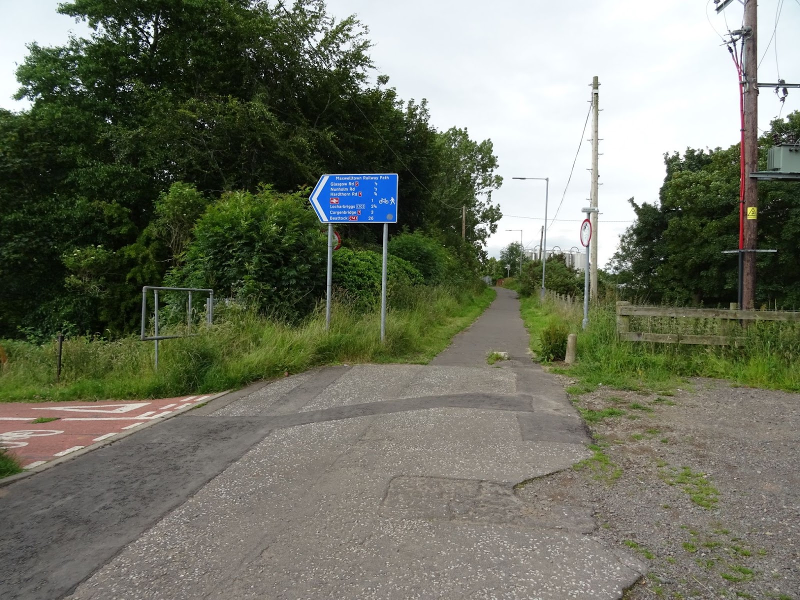 Lincluden is accessed via the spiral ramp bridge (aka the ‘curly wurly bridge’) over the A75 bypass. The main area for improvement is section of path leading to this bridge from town. It is narrow and awkward to negotiate, and the route is not signed. Just before the curly wurly bridge crosses the entrance to the industrial site for Covetrus and Berry BPI. It is used for HGV parking and movements and has poorly placed dropped kerbs even though there is plenty of room to provide an accessible option.
